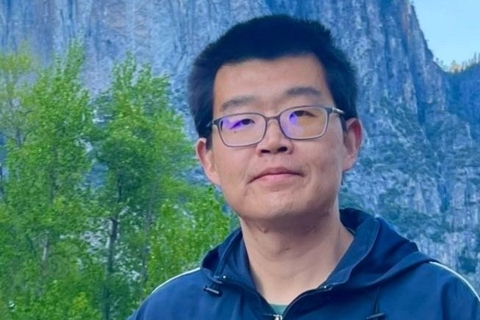
Dr. Boya (“Paul”) Zhang is a geoscientist with expertise in remote sensing applications on water resources and vegetation. He finished his Ph.D. from Florida International University (FIU) in 2022 with dissertation using Synthetic Aperture Radar (SAR) and optical imagery to estimate water depths for the regional South Florida Everglades wetlands. He also uses remote sensing observations and AI to estimate hydrological and ecological impact by hurricanes and quantifies canopy structure changes of coastal mangroves. During 2022-2024, he was a post-doctoral scholar in University of California Merced working on NASA and California Department of Food and Agriculture (CDFA) projects to estimate flood extent and depth of California wetlands and agriculture using AI and remote sensing. In 2024 Fall, Boya moved to Yale University as a post-doctoral associate. He maps coastal wetland vegetation changes for the past 40 years and maps global coastal wetlands flooding dynamics to study its impact on methane emissions.
