Fall 2026
Modeling Geographic Objects
(Instructor: Jill Kelly) Course Number: ENV 756
Department: Yale School of the Environment; Graduate
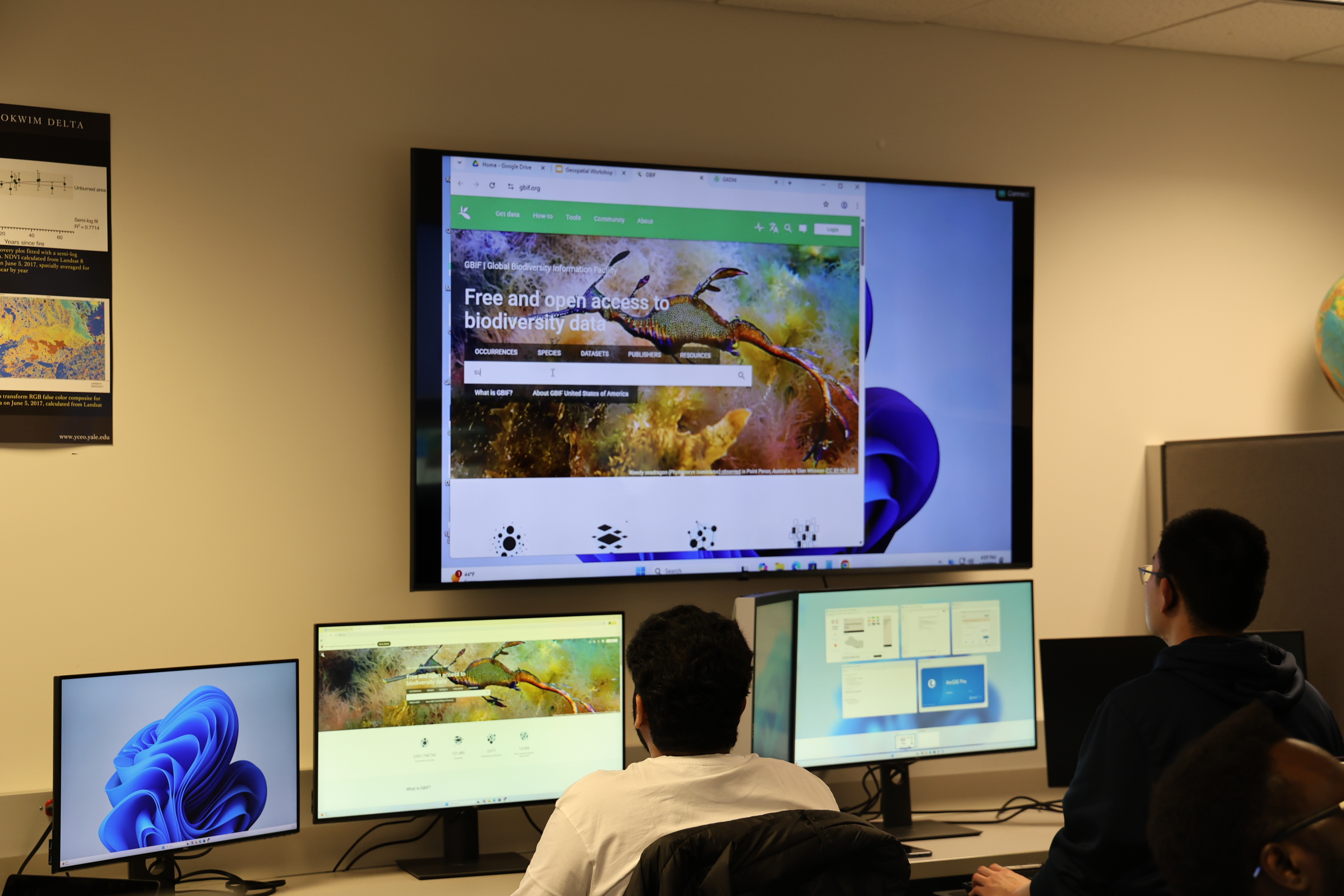
Modeling Geographic Objects teaches the use of Geographic Information Systems (GIS), a collection of hardware and software tools that allow users to visualize and analyze geographic data in its spatial configuration. Geographic data is modeled spatially as drawings of discrete objects (vector) or as images of continuous space (raster). Students learn the theory of geospatial analysis alongside practical methods for acquiring, manipulating, displaying, and analyzing cartographic data.
Cartographies of Climate Change
(Instructor: Joyce Hsiang) Course Number: ARCH 5103
Department: Architecture
Climate change disproportionately affects the people and places with the least power and resources. As our sea levels have risen, so too has the extreme socioeconomic disparity of specific communities and countries, creating a drowning class of climate refugees. Entire countries on the front lines of sea-level rise face the specter of nationhood without territory, despite the undeniable fact that their contribution to this global problem is negligible. And if climate change is in fact “the result of human activity since the mid-20th century,” it is in actuality a largely male-made phenomenon, if we unpack the gender dynamics and underlying power structures of the proto-G8 nations, the self-proclaimed leaders of industrialization. These power dynamics become even further exacerbated as we consider the implications of the particularly American interest in doubling down on investing in the heaviest piece of infrastructure ever—climate engineering. The architectural community appears to be in agreement. Climate change is a fundamental design problem. And yet calls to action have been ineffectual, responses underwhelming in the face of this overwhelming challenge. As the architectural community is eagerly poised to jump on the design bandwagon, this course seeks to reveal, foreground, empower, and give physical form to the spatial dimensions and power dynamics of the people and places most impacted by climate change. More broadly, the course aspires to help students develop their own critical stance on climate change and the role architects play.
Critical Data Visualization: History, Theory, and Practice
(Instructor: Bill Rankin) Course Number: HIST 3749
Department: History, Environmental Studies, Urban Studies, History of Science and Medicine, Humanities
Critical analysis of the creation, use, and cultural meanings of data visualization, with emphasis on both the theory and the politics of visual communication. Seminar discussions include close readings of historical data graphics since the late eighteenth century and conceptual engagement with graphic semiology, ideals of objectivity and honesty, and recent approaches of feminist and participatory data design. Course assignments focus on the research, production, and workshopping of students’ own data graphics; topics include both historical and contemporary material. No prior software experience is required; tutorials are integrated into weekly meetings. Basic proficiency in standard graphics software is expected by the end of the term, with optional support for more advanced programming and mapping software.
Egyptian Archaeology in the Digital Age: Recording, Mapping & Imaging
(Instructor: Gregory Marouard) Course Number: ARCG 6255, NELC 7680
Department: Archaeological Studies, Near Eastern Languages & Civilizations
Over the past decade the field of archaeology and the methodology in recording practices have seen major transformations with the development of new digital resources for mapping, recording spatial data, and modeling features with user-friendly, affordable digital tools, often available as open-source software, to produce rapid and extremely accurate results. Egyptian archaeology became relatively early a leading field in the use of such equipment and software for recording archaeological and architectural remains, epigraphic data, and cultural heritage. The aim of this course is to provide students a comprehensive understanding and training of these digital recording systems and methods in archaeology taking advantage of the most recent technologies. This course includes theoretical overviews of those highly multidisciplinary activities as well as practical training in the use of modern mapping tools for topography, photography, photogrammetry, digital drawing and RTI, post-processing and immersive virtual reality. This course includes lectures and seminars by guest speakers with extensive experience and practice of several techniques in Egypt, workshop sessions, and some lab activities. Students are engaged in the use of real archaeological data coming from excavation sites in Egypt and are able to practice in person some of the methods seen in class on physical structures on Yale campus.
Permission from the instructor to confirm that the student has a general background in Archeology or Ancient Near East or Egyptology is required.
Introduction to GIS for Public Health
(Instructors: Jill Kelly) Course Number: EHS 568
Department: Yale School of Public Health, Environmental Health Sciences; Graduate
This course teaches the use of Geographic Information Systems (GIS), a collection of hardware and software tools that allow users to acquire, manipulate, analyze, and display geographic data in its spatial configuration. Students learn both the theory of geospatial analysis and practical applications of GIS in a public health context.
Environmental Data Science in R: Introduction to Data Integration and Machine Learning
(Instructors: Sparkle Malone) Course Number: ENV 730
Department: Yale School of the Environment; Graduate
In today’s world, understanding environmental data and making informed decisions based on it is crucial for addressing complex environmental challenges. This course serves as an introductory exploration into the integration of environmental data using R programming language coupled with machine learning techniques. Participants gain hands-on experience in handling, analyzing, and interpreting environmental datasets, with a focus on leveraging the power of R for data integration and predictive modeling.
Covers spatial model visualization, as well as vector and raster data manipulation and visualization.