Apply Now!
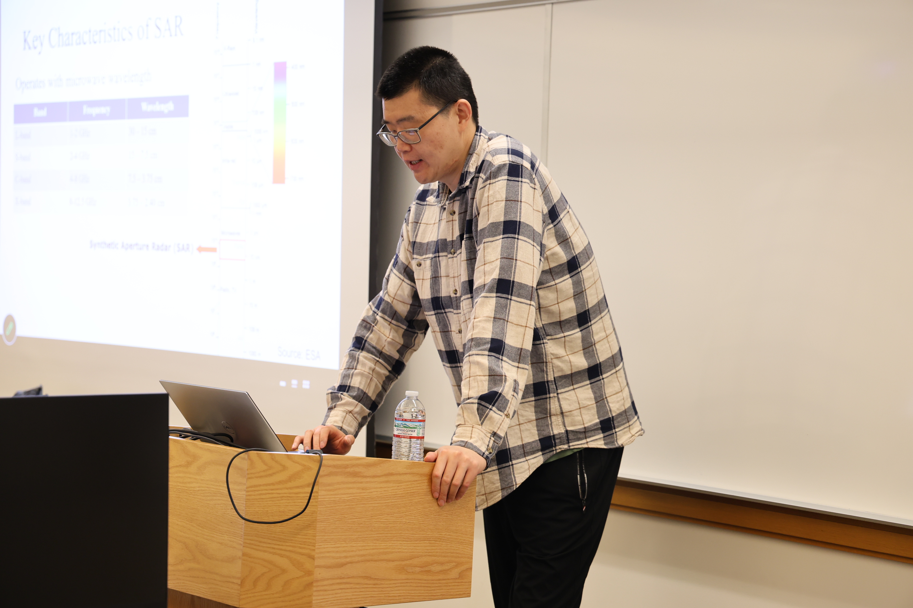
Would you like a first exposure to processing satellite imagery?
The Yale Remote Sensing Accelerator is a five-day intensive training program taking place June 1–5, 2026, designed for Yale affiliates who want an introduction to processing satellite imagery but may find it difficult to commit to a full semester-long course.
Participants who successfully complete the program will receive a certificate.
Logistics
- Dates: June 1–5, 2026
- Time: 9:30 AM - 5:00 PM ET
- Location (Hybrid): In-person (Location TBD) or via Zoom (link will be emailed to registrants)
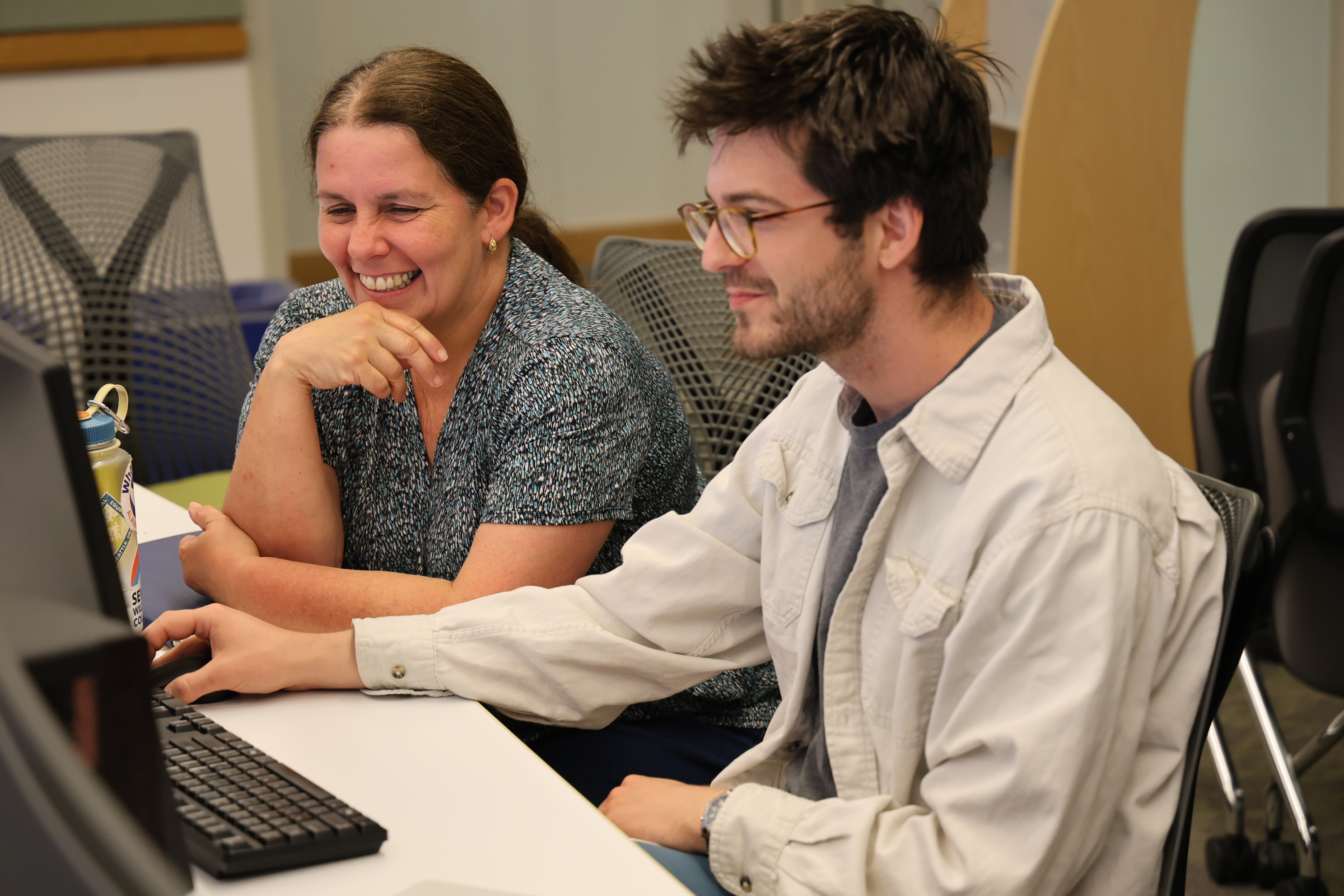
What You Will Learn
Participants will gain hands-on experience in:
- visualize and analyze imagery in ArcGIS Pro
- download and evaluate satellite imagery
- compute spectral indices
- perform image classification
- analyze change over time
- explore basic workflows in Google Earth Engine
* Working knowledge of GIS is required for this program.
Key Dates
- Application Deadline: Monday, May 4, 2026
- Interviews for applicants with GIS experience from outside Yale: Thursday, May 7, 2026
- Selection Notification: Monday, May 11, 2026
Please refer to the application form for more details.