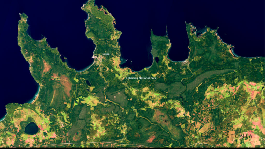
Satellite image of Lahemaa National Park in Northern Estonia.

Get Help

Get Help

HelpDesk

For questions about geospatial data or tools, please reach out to geospatialhelp@yale.edu with the following details: 

  • Position (Undergraduate, Graduate, Faculty, Staff, Postdoc, Alumni) 
  • Affiliation (School/Department) 
  • Inquiry Details: Please provide as much background information as possible to help us assist you effectively.

Consultations

Yale Library’s geospatial team offers expert guidance to help you to integrate geospatial technology into your projects and learning activities. Some of the aspects that you can discuss during your consultation are:

  • Geospatial support services for all disciplines, assisting from individual research to long-term team project planning
  • Strategies to plan your spatiotemporal work ahead
  • An overview of the tools and techniques used to map raster and vector datasets, using both open source and Esri software
  • Complex spatiotemporal data analyses and modeling

Looking for remote sensing help? Try out Atlas - YCGS’s remote sensing chatbot that guides you to the best satellites and datasets for your research projects. Please fill out the evaluation form, as we are continuously improving its services!

Office Hours

  • Date & Time: Check the schedule on our event calendar
  • Location: Hybrid – join in person at the Earth Observation Lab (21 Sachem St Room 119) or via Zoom

Our Remote Sensing Supervisor, Austin Madson, holds hybrid office hours. Feel free to bring any questions related to remote sensing or UAVs, whether for coursework, research, or both.  No appointment is needed—just drop in during scheduled office hours.