-
Geo-Empowering Yale: A Conversation with Miriam Olivares
Discover how Miriam Olivares is geo-empowering Yale by removing research roadblocks, supporting scholars, and connecting strong GIS foundations.
-
Scaling Community-Sensing and Recalling of Historical Climate Impact Data
iKON uses SMS and games to engage smallholder farmers as climate data contributors, improving models, warnings, and policy with community insight.
-
Tracking the traveling circus: Student maps data to visualize American history
Yale GIS Accelerator helped a doctoral student map how American traveling circuses evolved from wagon routes to rail networks.
-
GIS librarian Miriam Olivares among this year’s Linda Lorimer Award recipients
Miriam Olivares has been honored with the 2025 Linda Lorimer Award in recognition of her leadership in advancing geospatial research and training.
-
Out of This World: Apollo 13 Astronaut Fred Haise Shares Lessons in Resilience
Astronaut Fred Haise shares how resilience, teamwork and adaptability helped him face unexpected challenges on the Apollo 13 mission.
-
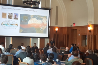
Bridging Geospatial Science and Urban Humanities at the Global (Un) Conference
Yeim We presented geospatial research on street vending, policing, and racial inequality in LA at the Urban Humanities Global (Un) Conference.
-
Geospatial Solutions Center Will Expand Yale’s Expertise
Yale has launched a new Center for Geospatial Solutions to enhance its research, training, and infrastructure in geospatial science and data analysis.
-
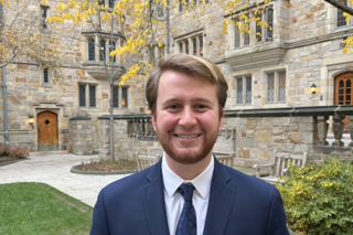
My Semester at YCGS: From Event Planning to Honoring Dr. Tomlin
Emmitt Thulin, a student Event Coordinator, reflects on organizing a heartfelt tribute to Dr. Dana Tomlin, marking a meaningful semester at the YCGS.
-
Interview with Dana Tomlin
Yale Professor Dana Tomlin, pioneer of Map Algebra and a founding figure in GIS, reflects on his career and how he helped shape geospatial analysis.
-
A new way of interpreting data — the GIS Accelerator Program
Miriam Olivares emphasized that the GIS Accelerator program’s success stems from participants’ eagerness to learn and the Jill Kelly’s teaching.
-
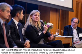
Analyzing Election Maps: Insights from Yale’s Post-Election Panel
Moderated by ISPS Director Alan Gerber, Sterling Professor of Political Science, the event featured Beverly Gage, John Lewis Gaddis and Shiro Kuriwaki
-
YCEO and OEFS Students Marvel at Celestial Wonder: New Haven’s Spectacular Eclipse Viewing
The Yale community gathered at Sachem’s Wood on April 8, 2024, to witness a breathtaking 91% solar eclipse.
-
Yale to launch new Center for Geospatial Solutions
Yale will create a new Center for Geospatial Solutions (YCGS) to enhance the university’s research, training, and engagement infrastructure.
-
PhD Candidate Yichen Yang Wins the Yale University’s 2022 Esri Innovation Program (EIP) Student of the Year
Yichen Yang, a PhD Candidate in Yale School of the Environment, has been awarded Yale University’s Esri Innovation Program (EIP) Student of the Year.
-
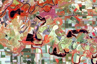
A New Web App for Investigating Global Urban Heat Islands
Global study maps UHI in over 9,500 cities using MODIS and Google Earth Engine, offering a web app with 16 years of high-resolution global heat data.
-
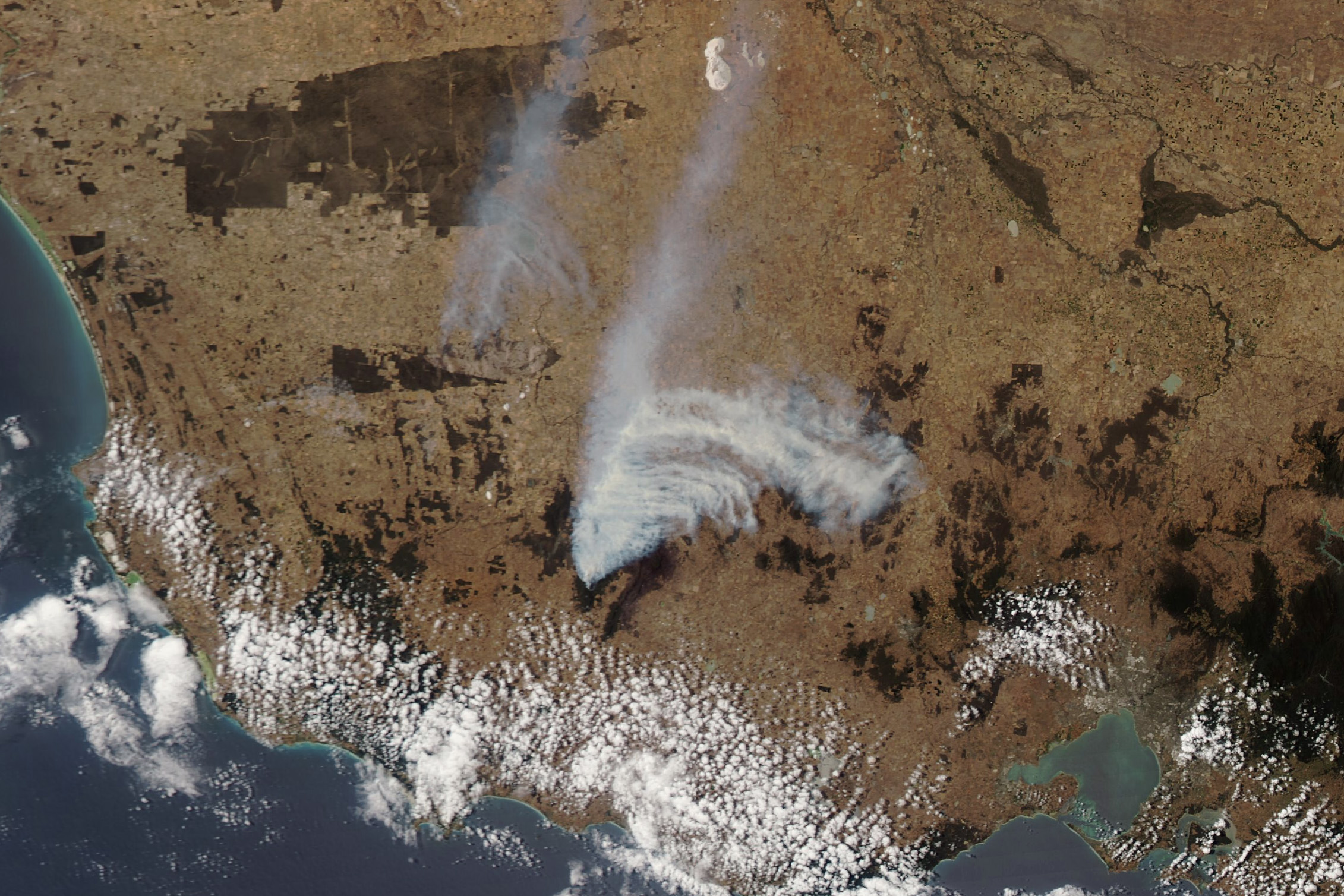
Center for Earth Observation Turns 25 Amidst ‘Golden Age’ of Remote Sensing
Remote sensing’s growth and YCEO’s 25 years of training highlight Yale’s expanding Earth observation expertise and the center’s leadership transition.
-
Are drones coming to Yale?
Yale’s new drone workshop shows how UAS can create ultra-detailed 3D models, expand remote sensing research, and inspire student projects from mapping
-
Space Archaeology Lecture
Yale alum and TED Prize winner Sarah Parcak returns April 6 to discuss her pioneering satellite-based archaeology and citizen science initiatives
-
Training in Geospatial Analysis of Disease Vectors: A Collaborative Workshop in Muguga, Kenya
Workshop in Muguga trained researchers in open-source GIS, remote sensing, and ecological modeling to map tsetse flies, supported by Yale collaborator