In-person

Google Earth Engine in 2026: Accelerating & Communicating Geospatial Analysis

Thu May 28, 2026 9:00 a.m.—3:00 p.m.
EOL photo
Event 1 of 2

Google Earth Engine in 2026: Accelerating & Communicating Geospatial Analysis

Overview

Join this two-day, hands-on workshop designed to introduce participants to Google Earth Engine (GEE) for scalable, cloud-based geospatial analysis. This workshop goes beyond scripting to focus on real-world applications, workflow design, and communicating results in an AI-driven landscape. Participants will learn how to organize data, automate workflows, analyze planetary-scale datasets, and share findings through interactive tools.

Workshop Format

Dates: Two-day continuous workshop
Time: Approximately 9:00 AM – 3:00 PM each day (including breaks)

Important: Participants are expected to attend both days.

What You’ll Learn

Day 1: Foundations & Core Workflows

Explore the fundamentals of Google Earth Engine using large-scale satellite and climate datasets, including:

  • Landsat
  • Sentinel
  • MODIS
  • ERA5

Topics include:

  • Time-series analysis
  • Spatial analysis
  • Data visualization
  • Building interactive web applications

Day 2: Advanced Applications

Dive into more advanced methods and integrations, including:

  • Machine learning workflows
  • GeoAI approaches
  • Ecosystem integrations

Afternoon Project: Build a complete workflow and deploy your own web app.

What You’ll Gain

By the end of the workshop, participants will be able to:

  • Work with planetary-scale geospatial data
  • Build scalable workflows in Google Earth Engine
  • Apply machine learning and GeoAI methods
  • Integrate GEE with Python, QGIS, and cloud platforms
  • Develop and deploy an interactive geospatial web application

Requirements

Recommended Background

  • Basic familiarity with programming concepts
  • Willingness to learn basic JavaScript
  • Basic understanding of geospatial or remote sensing concepts

No prior Google Earth Engine experience required.

Technical Requirements

  • Laptop computer
  • Google Chrome browser
  • Active Google Earth Engine account set up prior to Day 1

Food & Refreshments

Lunch will be provided each day.

Esmaeel Adrah

Biography

Esmaeel Adrah is a geospatial and remote sensing researcher focused on developing analytical frameworks that transform Earth observation data into actionable insights for resource management, disaster response, and agricultural resilience. His work integrates multi-source remote sensing data, physics-informed GeoAI, and causal inference to monitor water use, crop productivity, and environmental change, linking these insights to human impacts—particularly in data-scarce and complex landscapes. His research has been recognized with the Water Diplomacy Center Fellowship, I-GUIDE, and the AAG Amy Mather Student Scholar Award. He is currently a 4th-year PhD candidate at Kent State University, working at SensLand Lab, and holds an MSc in Geospatial Analysis and a BSc in Civil/Geotechnical Engineering, with experience in international organizations and the private sector. In addition to building scalable geospatial workflows using Google Earth Engine for research, he has developed and delivered technical workshops, including on GEE for terrestrial applications.
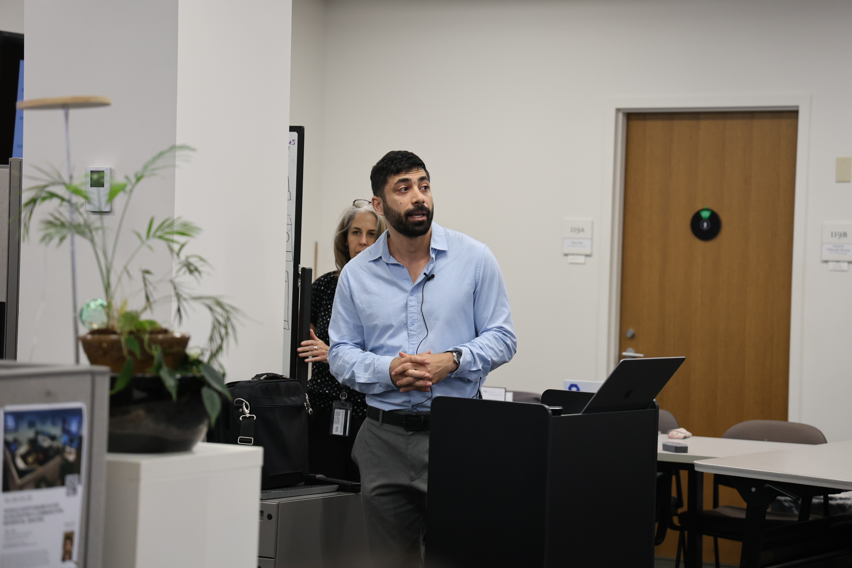
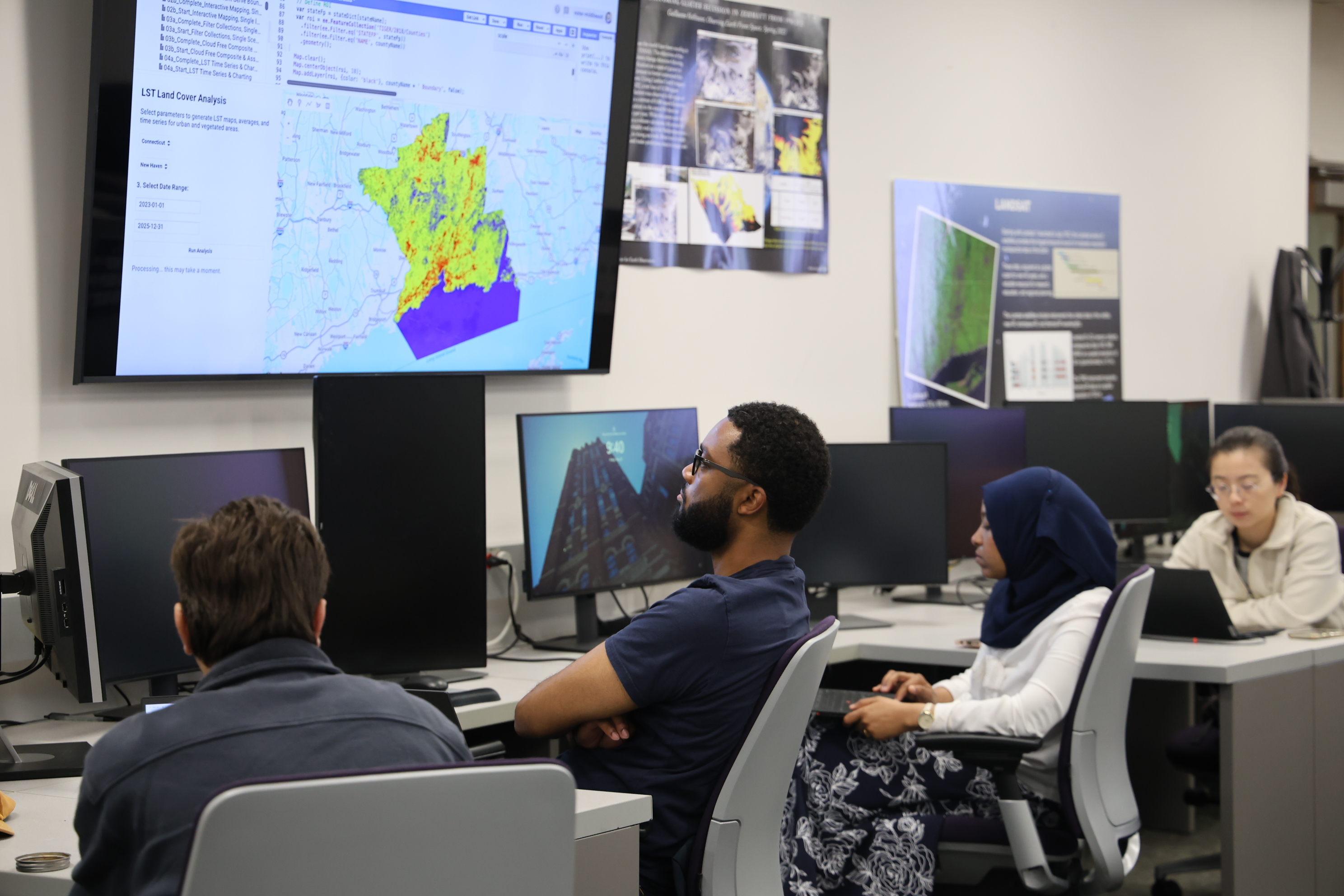
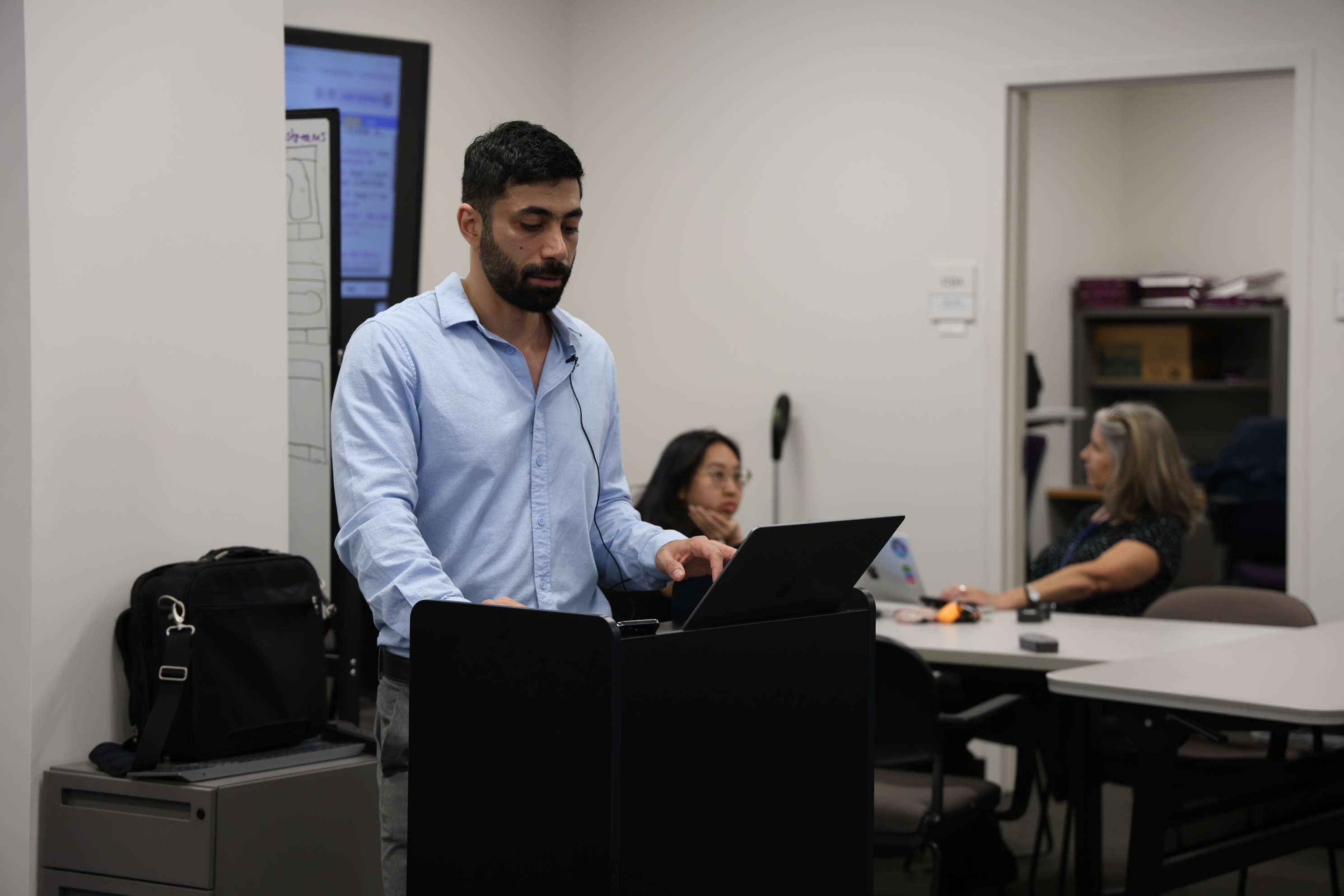